 Hardanger Shop
Fjord
Hardangerfjord: where the 180 kilometres end
The 180 kilometres every page prints end on the quay in Odda, at the head of Sørfjorden, not in Eidfjord, which half the same pages call the inner end. The deepest water is midway, in Samlafjorden, where the pages print anything from 830 to 893 metres for the one basin.
Send it on hardanger.shop/guide/en/hardangerfjord
The 180 kilometres end on the quay in Odda.
- Length180 kmBømlahuk–Odda, Store norske leksikon
- Deepest855 mOff Herand, outer Samlafjorden. SNL's own table says 830.
- In NorwaySecond-longestAfter Sognefjorden, 205 km. SNL and Visit Hardangerfjord.
From Bømlahuk to the quay in Odda
Ask how long Hardangerfjord is and you get a number. Ask what the number is measured between and the pages go quiet.
Store norske leksikon, the Norwegian encyclopedia, is the one that answers. The fjord is «180 kilometer lang (Bømlahuk–Odda)», says SNL: 180 kilometres from Bømlahuk to Odda, counting the outer part, Bømlafjorden, and «den lengste av de indre armene, Sørfjorden», the longest of the inner arms. The measure starts at Bømlahuk, out by the open sea. From there it is about 25 kilometres to the southern tip of Stord, then some 100 kilometres north-east to the mouth of Sørfjorden, at the northern tip of the Folgefonna peninsula. Add Sørfjorden and that comes to about 163 kilometres, not 180. SNL's own stretches do not add up to its total, and SNL does not say where the rest is.
There, at the end of Utnefjorden, the fjord splits. Sørfjorden runs 38 kilometres south to Odda. Eidfjorden runs 28 kilometres north-east and then east, to Simadal.
The rule is in SNL's table of Norway's longest fjords: a fjord is measured from the head of its innermost arm out to a line across the mouth, «Fjordenes lengde er målt fra botnen av fjordens innerste arm og ut til en linje midt mellom ytterste punkt på hver side av munningen». Along the middle of the water, not along the shore road.
The innermost arm is the longest one. Sørfjorden is 38 kilometres and Eidfjorden 28, from the same point. The way to Odda is about ten kilometres longer. The subtraction is ours, from SNL's figures, not a sentence SNL prints. But it is why the table says Odda.
The 180 kilometres end on the quay in Odda.
Other pages print other numbers, and none says why. 179 is on Hurtigruten, NASA and Nordic Visitor, and in the English Wikipedia infobox, which says 180 further down the same page. The Bokmål Wikipedia says 183, Fjord Norway 178. Lokalhistoriewiki is the only page that says outright that the answer depends on where you start: 120 km, «eller 180 om man reknar med Husnesfjorden/Bømlafjorden utafor Seløy», or 180 if you count the water outside Seløy. We do not call 179 wrong. We just found nobody who explains the missing kilometre.
Why Eidfjord gets called the end too
The same encyclopedia says something else in another article. Eidfjorden «utgjør Hardangerfjordens indre del», it says, is Hardangerfjord's inner part, from Utnefjorden at Ulgenes to the mouth of the Eio river in Eidfjord. It then carries on four more kilometres as Simadalsfjorden. Both sentences are SNL's. SNL does not choose between them, and neither do we.
The travel pages choose. Hurtigruten calls Eidfjord «a scenic village at the inner end of Hardangerfjord» and says «Stretching 179km» on the same page. Visit Norway puts the Vøringfoss Hotel in Eidfjord «in the innermost part of the Hardanger Fjord». Fjords.com has the fjord followed 180 kilometres inland to Eidfjord. Life in Norway hands you both: Eidfjord at the innermost point, and Odda at the southern tip of Sørfjord, «a branch of Hardangerfjord».
A fjord of 179 or 180 kilometres that ends in Eidfjord does not add up on SNL's figures. That route is about ten kilometres shorter, on the same subtraction as above.
Kartverket, the mapping authority, gives a reason both answers exist. In its place-name register, Bømlafjorden, Utnefjorden, Sørfjorden and Eidfjorden are each a name of their own. The entry for Hardangerfjorden lists the municipalities Stord, Tysnes, Kvinnherad, Ullensvang, Voss and Kvam. Eidfjord, Ulvik and Bømlo are not on it. The 180 kilometres are the whole chain of named fjords, measured as one.
Visit Hardangerfjord, the fjord's own tourism body, says «The second-longest fjord in Norway» under Facts. No length, no depth, no end.
One basin, six numbers
The depth has the same problem, only worse. This is what the pages print for the deepest point:
| Source | Deepest | Where |
|---|---|---|
| SNL, the article | 855 m | Off Herand, outer Samlafjorden |
| SNL, the table | 830 m | Not given |
| Lokalhistoriewiki | 830 m | Outer Samlafjorden |
| Statsforvaltaren i Vestland, 2026 | about 850 m | Samlafjorden |
| Multiconsult for Statsforvaltaren, 2025 | up to 850 m | Samlafjorden, between Jondal and Ålvik |
| Wikipedia, Bokmål | more than 850 m | By Norheimsund |
| Wikipedia, English | more than 860 m | Off Norheimsund |
| Fjords.com | 860 m | Off Øystese |
| Wikipedia, Nynorsk | 893.1 m | Off Ålvik, no source |
Herand, Norheimsund, Øystese, Ålvik and Jondal all sit around the same basin, Samlafjorden. These are not five different holes in the seabed. They are five places to point from, and six numbers for the same depth.
We print 855 metres because it is the figure in the SNL article, with a place behind it: «Største dyp (855 meter) er målt utenfor Herand i Ytre Samlafjorden», the greatest depth, measured off Herand. SNL names no year or survey for it. And the table in the same encyclopedia says 830.
Why the basin is a room of its own is explained in a March 2026 note from Statsforvaltaren i Vestland, the county governor. The fjord has sills under the water. The shallowest in the main fjord are in the outer part, at Otterøya and Huglo, about 150 metres down. Inside them the basins get deeper and deeper, to the greatest depth in Samlafjorden at about 850 metres. At the entrance to Sørfjorden there is another sill, at 250 metres.
Eidfjorden, the arm that runs to Eidfjord, is 725 metres at its deepest, in its outer part, says SNL.
Second in Norway, fifth in the world
Second-longest in Norway is on every page, from SNL to Visit Hardangerfjord. Sognefjorden is longer: 205 kilometres from Storesvalene to Skjolden, and 1,303 metres deep, in SNL's table.
The world is another matter. SNL's list of the world's longest fjords has Scoresbysundet at 350 kilometres, Sognefjorden at 205, Independencefjorden at 200 and Kangerlussuaqfjorden at 190, before Hardangerfjord at 180. Three of the four ahead of it are in Greenland.
Hurtigruten prints "the third longest in the world" and Visit Norway "the world's third-longest fjord". That holds only if you leave Greenland out, and neither says it did. Marine Insight says fourth. SNL's list is the only one we read that says how it was measured.
The water in front of Odda
Stand on the quay in Odda and you are standing where SNL stops measuring. The water in front of you is Sørfjorden.
How long it is depends on which SNL article you read. The Sørfjorden article says 40 kilometres, from Trones on the west side and Krossanes on the east, to Odda. The Hardangerfjorden article says 38, counted from the end of Utnefjorden. Two starting points, two numbers, one fjord. English Wikipedia says «about 50», while Wikipedia's own Sørfjorden article says 38.
Since 2020 Ullensvang municipality has held both sides of Sørfjorden, from its mouth to the head of the fjord in Odda, says SNL. Trolltunga sits above the same water. What a day up there costs in hours is in How long does Trolltunga take?. What the smelter did to the town at the head of the fjord is in Odda is a smelter town.
So Odda is on an arm and at the end of the fjord at the same time. The two do not contradict each other.
We have not sailed the fjord from Bømlahuk to Odda, and we have measured nothing. What we have done is lay the numbers side by side and ask what they are measured between.
From the shop
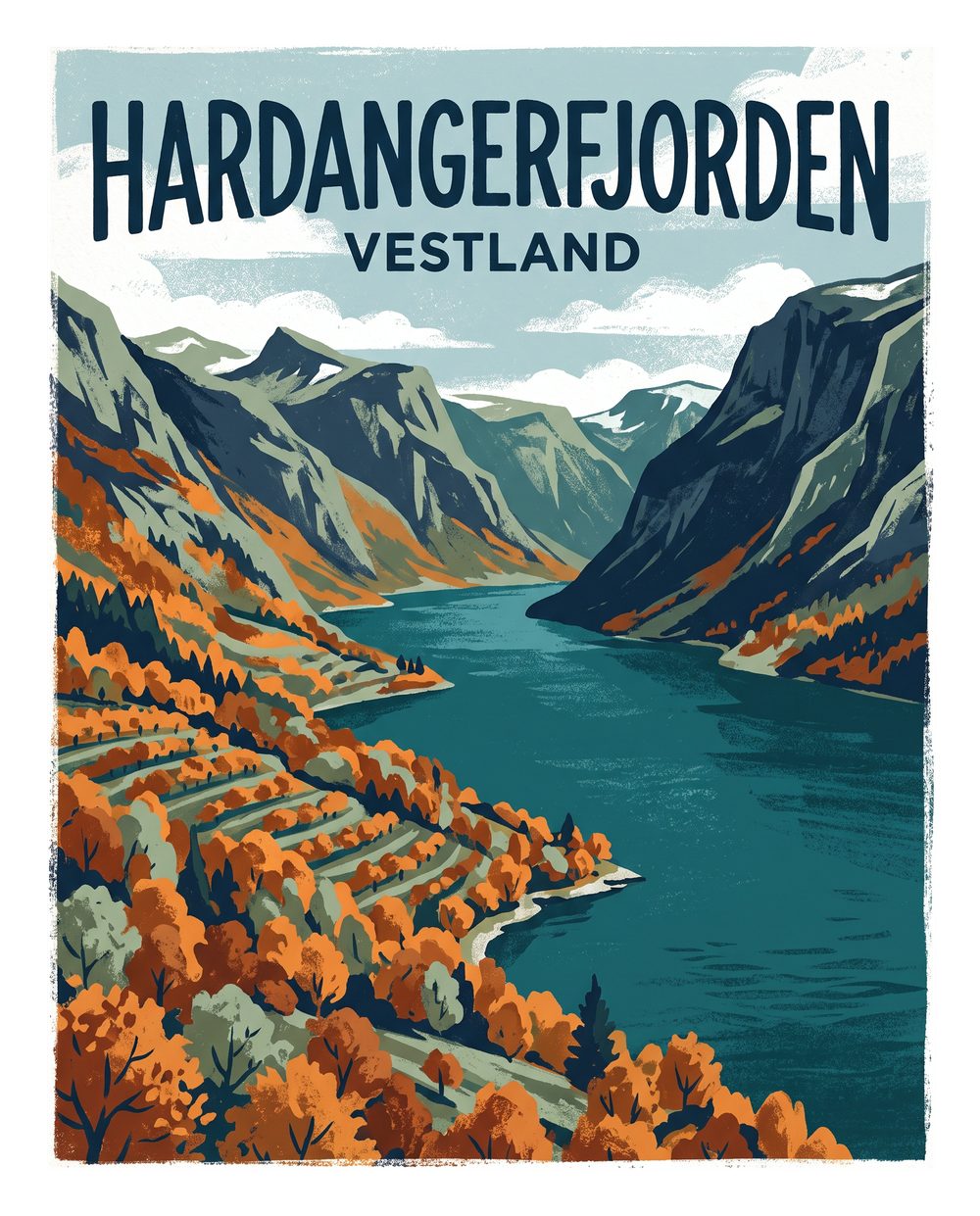
Our Hardangerfjorden poster has no numbers on it, so it cannot get the length wrong.


We have no physical shop in Odda. What you order is printed to order and sent by post.
Sources
Checked 10 November 2026:
- Hardangerfjorden, Store norske leksikon, Geir Thorsnæs, updated 12 October 2026. 180 km, Bømlahuk–Odda, Sørfjorden 38 km, Eidfjorden 28 km, 855 m off Herand.
- Norges lengste fjorder, SNL, updated 15 April 2026. The method, and 830 m in the depth column. Sognefjorden 205 km and 1,303 m.
- Verdens lengste fjorder, SNL, updated 3 March 2026.
- Sørfjorden – Hardanger, SNL, updated 4 November 2026, and Eidfjorden, SNL, updated 26 November 2024.
- Hardangerfjorden, place number 793474, Kartverket, Central Place Name Register, read 9 November 2026.
- Hardangerfjorden toler ikkje meir, Statsforvaltaren i Vestland, note of 25 March 2026, and the 2024 annual monitoring report for Hardangerfjorden, Multiconsult, 1 April 2025.
- Hardanger, Visit Hardangerfjord, no date.
- Hardangerfjorden, Lokalhistoriewiki, edited 12 January 2024.
- Pages that print other numbers, read as leads and not as sources: Wikipedia in English (edited 25 July 2026), Bokmål and Nynorsk, Hurtigruten, Visit Norway, Fjord Norway, Fjords.com, Life in Norway, Nordic Visitor, NASA Earth Observatory and Marine Insight, read 9 November 2026.
- The subtraction 38 − 28 = 10 km is ours, from the figures in the SNL article. The drawing at the top is the Hardangerfjorden / Vestland design, approved 15 September 2026.